
Marysville Neighbors by Block
Public records describe the land and civic geography around a Marysville address more reliably than they describe a household. Start with the parcel map. It shows adjacent lot shapes and account links. Then use the property roll for owner, taxpayer, and mailing fields. City maps add planning and boundary context. Association sites describe community structure, but their locked member data stays private.
| Source | What It Shows About a Block | Access |
|---|---|---|
| SCOPI parcel map | Adjacent parcel shapes, IDs, owner or taxpayer fields, and labels | Free; click one parcel at a time |
| County Property Summary | Owner, taxpayer, property address, legal description, and account history | Free address or parcel search |
| Marysville GIS | Parcels, lots, easements, rights-of-way, and administrative boundaries | Free map services |
| Ready Neighbors | Civic representative and emergency-preparedness layer | City form; no public member roster |
| Association sites | Community, meeting, board, portal, or management information | Public pages; member records private |
An owner may live elsewhere. A taxpayer may use another mailing address. A parcel held by a trust or company gives even less evidence about who is present. Nearby Marysville neighbors may include renters and family members whose names do not appear in property records. State voter access also has strict use limits. Read each source as a dated role, not a live household list.
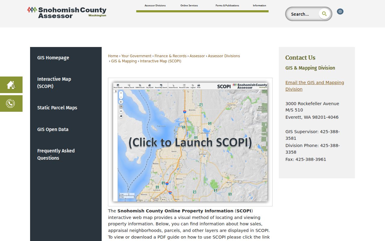
Inspect Marysville Parcels in SCOPI
SCOPI's selected-parcel panel can show Parcel ID, Property Address, Owner, Taxpayer, Gross Acres, Market Value, Tax Code Area, and a seven-digit appraisal-neighborhood ID. Its Property Account Summary links to sales and tax history, legal descriptions, and structure details. Those fields help separate one lot from the next. They do not identify every person inside a home.
Two labels prevent common map errors. “Multiple Parcels (Click for Info)” marks places with more than one tax account. “Not a Legal Tax Parcel” marks a mapped gap rather than a taxable parcel. Shared-interest parcels may also make gross acreage look larger than the main lot. SCOPI is illustrative and is not the official legal boundary or code map.
View the county's SCOPI parcel viewer before working outward from an address.
Map a Marysville Neighbors Block
No documented buffer export or “all adjacent owners” button was found. The supported method is careful map browsing. Set a small scope, such as the parcels that touch the starting lot or face the same short block segment. That keeps the search tied to the immediate neighborhood.
- Find the starting address in SCOPI and record its parcel ID. Check that the map shape and property address match.
- Zoom until the adjoining parcel polygons are clear. Click each neighboring parcel and record only the public owner or taxpayer field with its source date.
- Open Property Account Summary when sales history, legal description, or structure data helps distinguish lots. Do not infer occupancy.
- Compare city GIS boundaries and planning maps. Stop once the defined block or adjacency set is complete.
The process can be written as address → parcel ID → adjacent polygons → public account fields → city boundary context. A whole-road inquiry has a different scope; use the Marysville street directory for that longer street-by-street chain.
Marysville Neighborhood Map Names
The city's official planning material names eleven areas: Lakewood, Smokey Point, Shoultes, Marshall, Kellogg Marsh, Pinewood, Downtown, Jennings Park, Sunnyside, East Sunnyside, and Getchell Hill. These names help describe where a block sits, but they are not parcel ownership, postal service, or association membership boundaries.
SCOPI appraisal neighborhoods serve property analysis and use numbered IDs. Marysville planning neighborhoods serve city planning. ZIP codes serve mail delivery. The Urban Growth Area, Tulalip Reservation boundary, school districts, city line, and county line are other distinct layers. Select the layer that answers the question and label its source. Do not convert a familiar neighborhood name into a claim that a person belongs to a group.
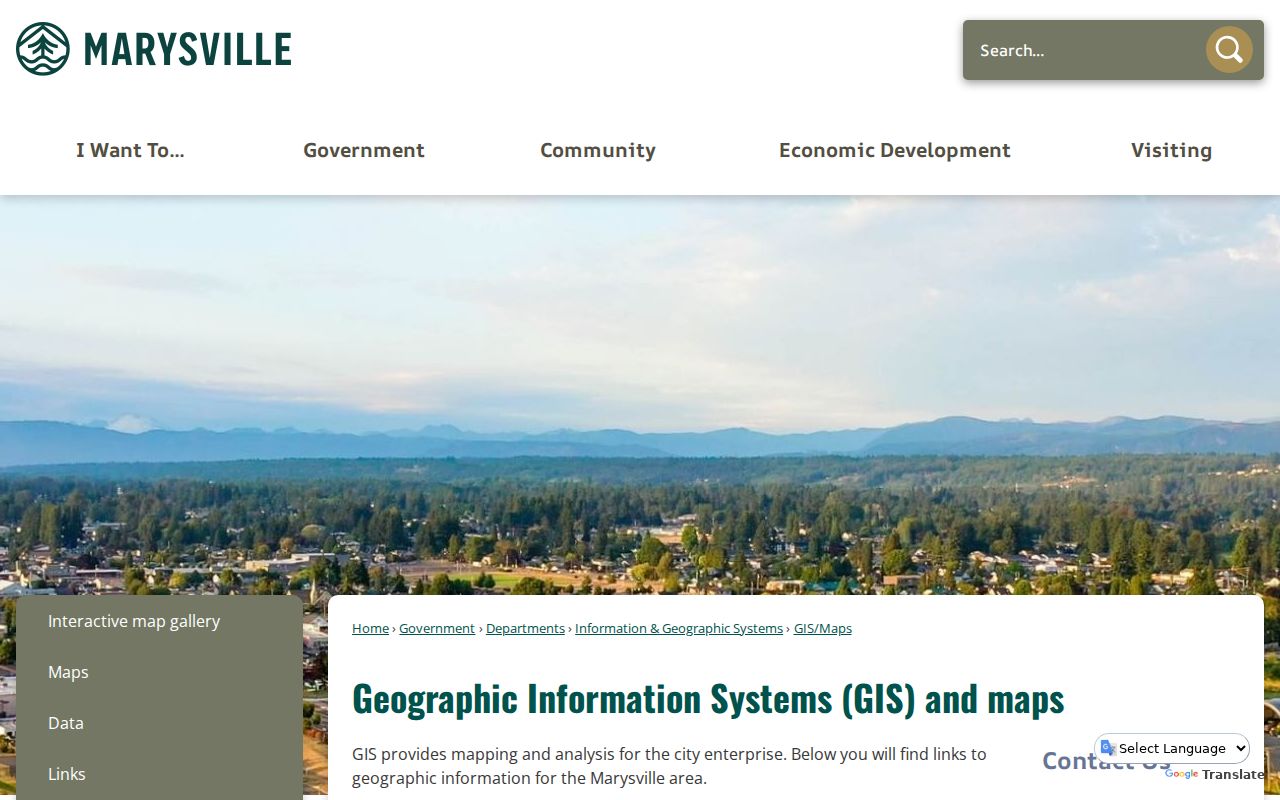
Use the Marysville GIS gallery to compare those official layers.
Marysville Neighbor Associations
Community sites provide association-level facts, not open household lists. Marysville Ready Neighbors lets neighborhood representatives join a city contact layer for emergency-preparedness communication. The inspected city material did not expose a public membership roster. A representative entry should never be treated as proof that every nearby household participates.
| Community Source | Public Context | Private Boundary |
|---|---|---|
| MeadowCreek Park HOA | 131 homes, parks, trails, courts, mail center; early-1990s community | Resident portal and member matters |
| Rock Creek Estates HOA | Board and annual-meeting information | No open member directory found |
| Crest View Commons | Volunteer board, management, and owner registration | Locked owner content |
| Ready Neighbors | Preparedness and civic representative contacts | Not a neighborhood membership roster |
Public board details can point to a meeting or management channel. They cannot establish who your Marysville neighbors are. Contact an association about its public process, and do not seek or republish locked resident information.
Marysville Neighbors Across Boundaries
A Marysville mailing label does not prove that a property lies within city limits. USPS recognizes 98270 and 98271 for Marysville, but 98271 also serves Tulalip addresses and places beyond the city line. For civic jurisdiction, check the city boundary or reservation layer. For taxes and parcels, use the county account. For mail, use USPS.
This distinction matters near annexation edges and the Urban Growth Area. Two people described as Marysville neighbors by mail may face different city services or land-use authorities. A ZIP is a delivery route, not annexation evidence. Keep postal, civic, and parcel geography separate.
Note: The mailing city is useful for delivery, while the mapped city boundary decides whether an address is inside incorporated Marysville.
Compare Marysville Neighbor Tools
Official sources and commercial neighbor tools answer different questions. Government maps disclose defined public fields with known custodians. Commercial services compile brokered files, old public records, and address associations whose dates may be unclear. A polished profile can still join unrelated people or retain an old address.
| Source Type | Strength | Limit |
|---|---|---|
| Official parcel and GIS records | Named custodian, parcel geometry, dated public fields | Owner or taxpayer is not necessarily occupant |
| City and association pages | Verified civic or community structure | Not a complete resident list |
| Commercial compilations | May combine many address leads | Source dates, accuracy, cost, and identity matching vary |
Use an official record for the fact it actually maintains. If a commercial listing conflicts with SCOPI, ask whether the issue is timing, a same-name collision, or a different source role. An opt-out from a commercial service does not remove the underlying county record.
Marysville Voter Data Is Limited
VoteWA is an individual self-lookup, not a block directory. Public voter extracts now come from the Washington Secretary of State. Permitted public fields can include registration and mailing addresses, precinct identifiers, status, registration date, year of birth, and voting-history indicators. Sensitive identity fields, signatures, phone numbers, and email addresses are excluded.
RCW 29A.08.720 restricts using voter lists for mailing, advertising, offers, and solicitation. Washington also records no party preference. A registration entry does not prove household membership, friendship, or current presence. State routing changed after a March 2026 voter-database protection law, so old county request directions may no longer describe the current channel.
What Marysville Maps Cannot Prove
Parcel adjacency does not establish friendship, household membership, permission to contact, or current occupancy. Nor can a public map reveal renters, guests, utility customers, or all family members. Recent sales layers also omit many nonmarket transfers, such as gifts, estates, quitclaims, and multiple-parcel deals. A blank sales result does not mean no transfer occurred.
If a public record seems wrong, contact the custodian with the parcel or account number. Do not publish a competing claim about the people at the address. City and county map pages warn that their tools are illustrative, and legal descriptions or recorded plats control questions that require formal boundary proof.
The Assessor counter provides another access channel when an online account is unclear. Staff resources can include parcel maps, taxpayer name and address, assessed-value history, property characteristics, sales, and legal descriptions. Small copying fees may apply. For a map issue, Snohomish County GIS also publishes phone and email contacts and weekday service hours. Describe the parcel ID, layer, and observed label instead of asking staff to identify everyone nearby. That focused question lets the custodian explain a shared-interest parcel, multiple account, or boundary issue without turning a technical map inquiry into a search for private household details.
Marysville's own Assessor map service supplies lots, site numbers, subdivisions, easements, rights-of-way, annexation ordinances, and multiple-account parcel layers. These layers can explain why two homes that look adjacent from the road do not share the same legal access or subdivision. They remain geographic evidence. A recorded plat or legal description is the stronger source when the exact boundary matters.
Privacy for Marysville Neighbors
Washington's Address Confidentiality Program provides a substitute address and mail forwarding to qualifying survivors and protected workers for a four-year certification. Agencies must accept the substitute address when a participant presents an authorization card. The program does not erase earlier records, but no one should try to connect a protected person to a physical address.
There is no single process to remove a name from every public record. Corrections and restrictions depend on the custodian, record type, and legal basis. Use a parcel map for civic curiosity, family research, or understanding the block. Stop when a source is sealed, locked, confidential, or clearly meant for self-service.
Lawful use. Research Marysville neighbors only for lawful personal purposes. Never use a parcel, voter, or community record to watch, harass, intimidate, or expose anyone.