
Walk a Marysville Street Directory
A sound Marysville street search builds one fact at a time. The Assessor ties a site address to a parcel and displays an owner. SCOPI places that lot beside the next one. Neither proves who lives there. A deed names parties to a transfer, a permit names a filing contact, and voter information has firm access limits.
- Enter the site address in the county Property Summary Search and copy its parcel number and situs address.
- Select the parcel in SCOPI, then inspect the parcel pattern along the same block.
- Use VoteWA for your own registration; public voter extracts use a separate state request route.
- Search recorded deeds and plats by parcel, party, legal description, or date.
- For past households, consult the State Library directory run and local microform tools.
The sequence preserves a citation trail and keeps ownership evidence apart from occupancy.
Marysville Street Search Fields
The Snohomish County Property Summary Search is the best first stop for a current site. It searches one parcel or address at a time. The inspected form has no owner-name search.
| Field | Requirement | Search note |
|---|---|---|
| Parcel No. | Full number | Real property uses 14 digits. |
| Street Address | Required in address mode | Use three or more characters; percent can join number and street. |
| City, state, ZIP | Optional | Useful filters, not proof of city limits. |
View the live assessor form before using this captured screen.
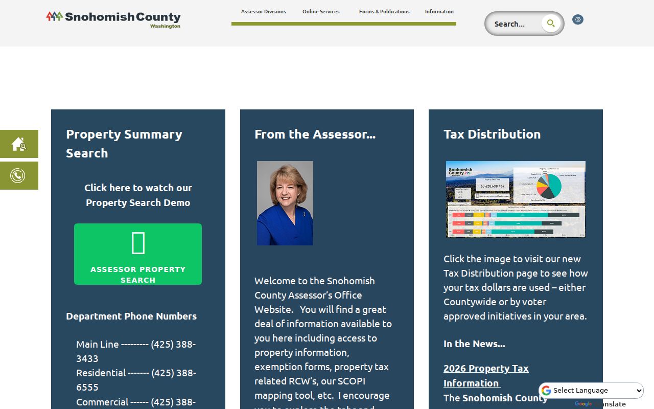
The opened account supplies the site, owner-role, value, sales, and legal-description leads needed for later searches.
Map Marysville Streets in SCOPI
SCOPI maps the parcel pattern. A selected lot can show Parcel ID, Property Address, Owner, Taxpayer, Gross Acres, Market Value, Tax Code Area, and Neighborhood. Account links reach sales, taxes, legal descriptions, and structure details.
Open the live county viewer before comparing this capture.
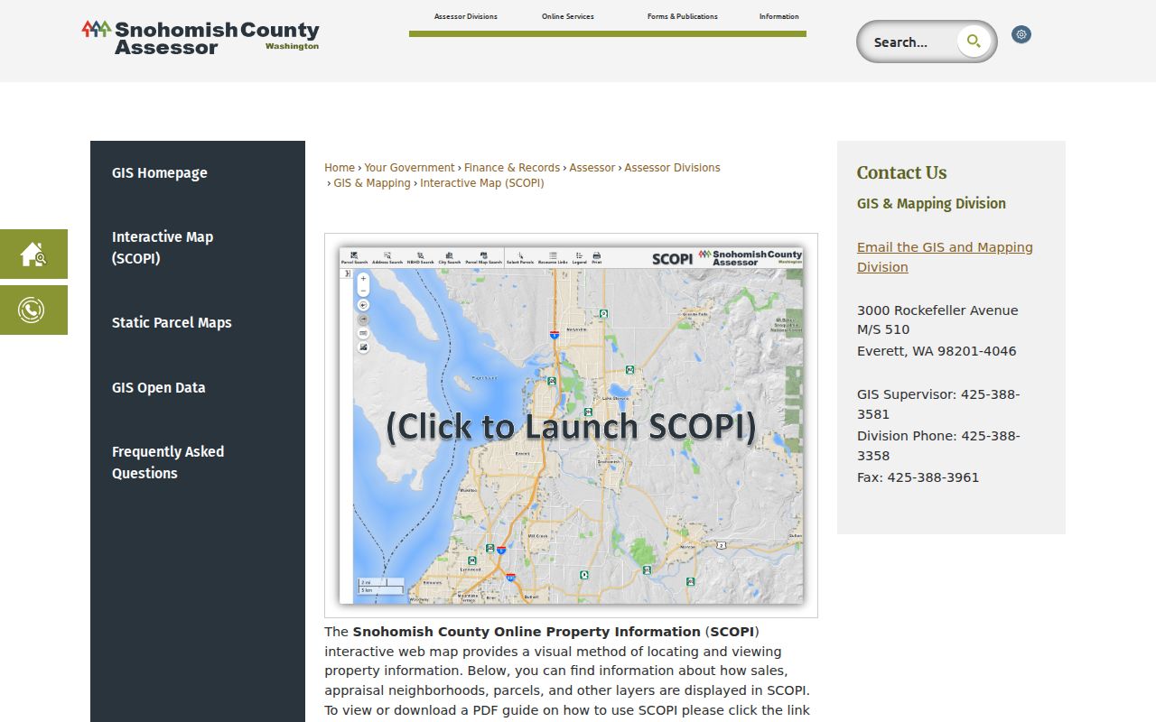
The map is illustrative, not a legal boundary. “Multiple Parcels” opens related accounts. “Not a Legal Tax Parcel” marks geometry that must not be treated as a home parcel.
Map tip. Check account notes because older gross-acre figures can include shared-interest land.
Marysville Permits by Address
The Marysville permit search accepts a field, operator, and value, then offers result tabs and map controls. A permit can document work and a filing contact. It does not certify residence or ownership.
Check the current permit interface before using this captured form.
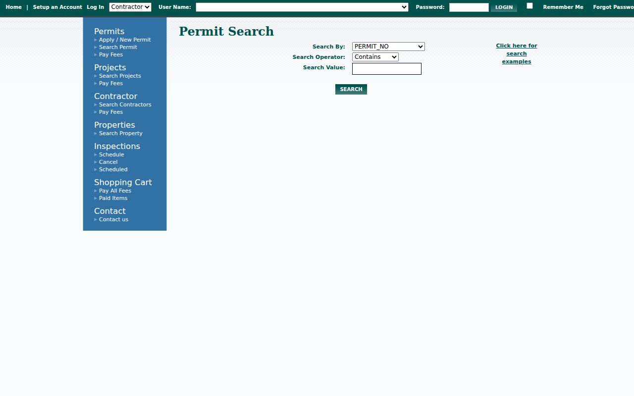
If no older file appears, use the city public-record request route rather than treating a blank result as proof.
Marysville Street Directory Sources
Official address systems overlap, but each records a different role and provides its own fallback channel.
| Record Set | Keeper | What It Shows | Access |
|---|---|---|---|
| Property and tax | Assessor and Treasurer | Parcel, owner or taxpayer, site and mail fields | Portals; Assessor counter |
| GIS map | County and city GIS | Lots, sites, subdivisions, boundaries | Viewers; GIS or PRA request |
| Deeds and plats | Auditor–Recording Division | Parties, dates, parcel, legal description | Index; counter, phone, mail, microfilm |
| Voter information | Secretary of State | Lawfully released extract fields | Self-check or state request |
| Permits | City of Marysville | Site work and filing contacts | Portal or records request |
The parcel ID bridges the account, map, deeds, and some permits. Assessor and Recording staff provide in-person help in Everett. Recording also handles phone and mail searches; old deeds generally move to microfilm.
Follow Marysville Deeds and Plats
The Auditor index accepts party name, document type, recording number, date, Parcel ID, book and page, and legal description. Parcel queries use the first 10 digits. Surveys, plats, and condominiums use the Legal category. Online coverage is strongest from July 1976, and an account is required as of March 2, 2026.
- Parcel
- A county account tied to a tract.
- Situs address
- The physical site, which can differ from a mailing address.
- Plat
- A recorded map of lots and streets.
- Criss-cross directory
- A directory arranged by address rather than surname.
Review the current recorder notice before using this capture.
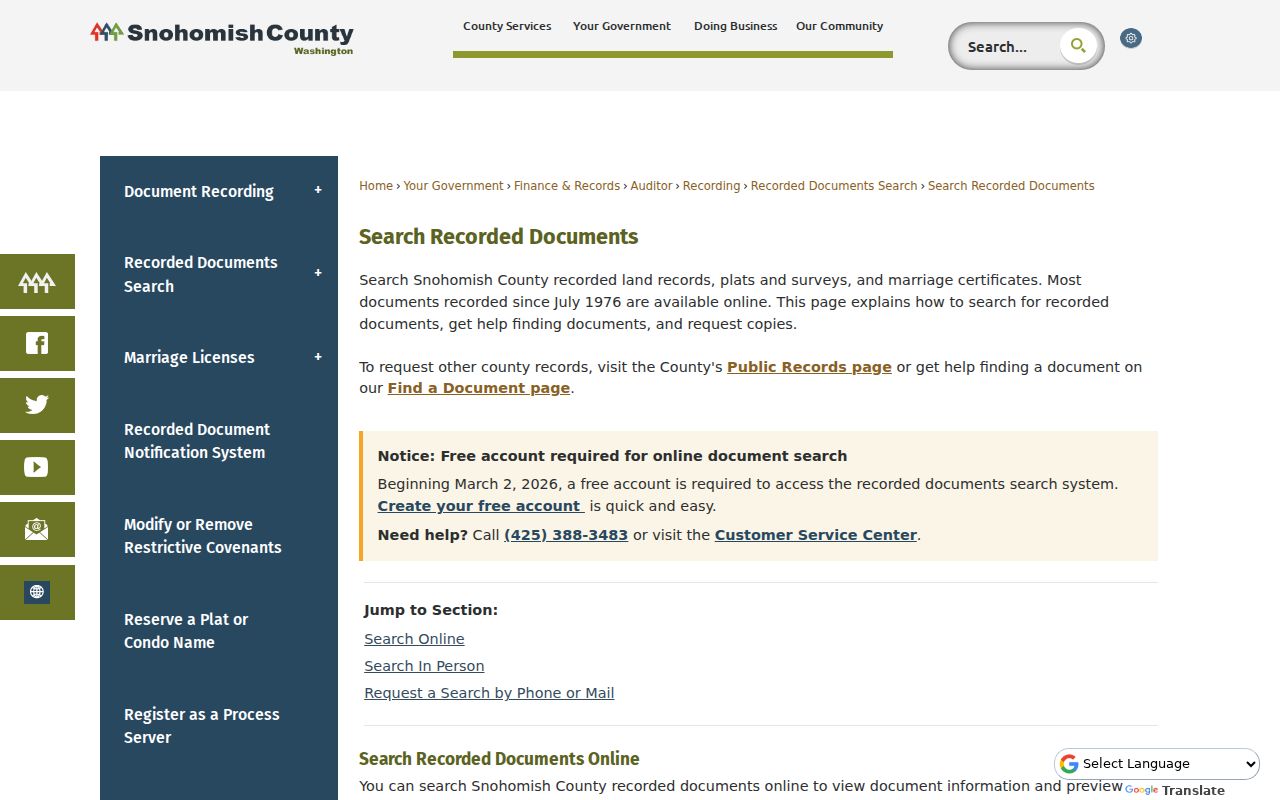
Results may include previews and downloads. Certified copies are mailed. Pre-1976 files generally require microfilm or staff help at the counter, by phone, or by mail.
Decode Marysville Street Numbers
Marysville Municipal Code Chapter 12.04 assigns 100 numbers between cross streets and one whole number per 25 feet of frontage. Even numbers are east or right on south-to-north streets and south on west-to-east streets. Irregular lots go to city staff.
Numbering begins at western boundaries with 1000 and at First Street with 100. State Route 529 and Old Highway 99 are State Avenue south to 136th NE; Smokey Point Boulevard remains north of it. Since names rest on recorded plats, test modern and old plat language.
Note: Ordinance 266 established the street-name rule in 1929, but a specific recorded plat remains the key historic source.
Check Marysville Address Boundaries
A Marysville label does not prove city jurisdiction. ZIP 98271 also serves Tulalip addresses. The Marysville GIS gallery provides city, reservation, county, urban-growth, and school layers.
City GIS adds annexation ordinances, subdivisions, site numbers, lots, easements, and rights-of-way. Pair them with county and USPS records so a postal label does not become a false city-limit claim.
Broaden Marysville Address Results
The Snohomish County Treasurer search provides a useful second address index. It offers Parcel Number, Taxpayers Name, Property Address, and Mailing Address modes. Either a parcel number or street name is required. Spell the street out and omit its type or direction when a narrow query misses a valid account.
This portal can distinguish a property address from the address used for tax mail. It can also expose why a name seen on a parcel account does not fit the place being researched. The Treasurer calculates and collects tax, while the Assessor sets value. Keep those agency roles separate in notes.
A real-property parcel uses the full 14-digit number. Address searching needs at least three street-name characters. Once a Treasurer result resolves the parcel, return to SCOPI and the Recorder rather than treating a tax-mail name as a resident.
Get Marysville Street Documents
Index details are often enough to identify the right instrument, but a street directory trail sometimes needs the document image. The Recording Division allows immediate unofficial downloads. Certified copies carry the official seal and true-copy treatment and are generally mailed within five business days. The fee schedule lists unofficial copies at $1 per page and certified copies at $3 for the first page plus $1 for each added page.
The office is at 3000 Rockefeller Avenue M/S 204 in Everett and is open Monday through Friday, 9 a.m. to 5 p.m., with a 30-minute closing cutoff. Call 425-388-3483 or email recording@snoco.gov. The page also lists fax and mail channels. These choices matter when an online account fails, an image does not load, or the desired record predates the strong web range.
Record the recording number, date, parties, document type, parcel, book and page, and legal description before ordering. That short inventory makes a counter, phone, or mail request precise and keeps the search tied to the right Marysville tract.
Marysville Address Roles Compared
The same parcel can carry several names without contradiction. A county property account may identify an owner and taxpayer. The Treasurer may hold a mailing address. A deed identifies grantors and grantees. A city permit records an applicant or project contact. Historical directories may place a named householder at a street address.
| Source label | What it supports | What it cannot prove |
|---|---|---|
| Owner | Assessor's current parcel role | Physical presence |
| Taxpayer or mailing recipient | Tax notice destination | Ownership or occupancy |
| Grantor / grantee | Party to a recorded instrument | A full household |
| Permit applicant | Contact tied to the project | Resident status |
| Directory householder | Dated directory association | Current presence |
This role check is the most important safeguard in a Marysville street directory search. A match becomes useful only when the source, date, role, and parcel all align.
Research Older Marysville Streets
The Washington State Library lists Marysville within Everett directories across a discontinuous 1901 to 1988 run. Those volumes are on-site only, and the inspected catalog did not show a sample entry or prove that each edition contains a reverse section. Record the title, year, page, city label, spelling, address, and abbreviation key for each useful entry.
The Marysville Library has a microform reader, computers, scanners, copying, and librarian help. The Historical Society adds searchable Marysville Globe issues and local manuscripts. These channels turn an address into dated evidence without overstating what a directory entry proves.
For the oldest blocks, compare a directory lead with the 1912 Sanborn fire-insurance map, recorded plats, and modern GIS. Building footprints are historical context, not current parcel lines. A strong street directory note states exactly which source supplied each address form.
Read Marysville Street Map Layers
The city and county maps answer different parts of an address question. Marysville's Assessor MapServer includes parcels, lots, site numbers, subdivisions, easements, rights-of-way, annexation ordinances, and multiple-account parcels. It draws from county Assessor data and was published December 20, 2024. The separate Administrative Boundaries service, published August 20, 2025, includes Marysville city limits, the Tulalip Reservation, Snohomish County lines, the urban growth area, and school districts.
Use a parcel layer to locate the lot, then turn on only the boundary needed for the question. Too many layers can hide the street pattern. An easement or right-of-way is not a household parcel. Likewise, a subdivision name or school district describes geography, not a resident. When the map supplies a parcel ID, confirm it against the Property Summary before moving to deeds.
Marysville GIS lists City Hall at 501 Delta Avenue and identifies the GIS manager's office as a direct help channel. County GIS also offers email and phone support during weekday hours. If the public viewer lacks a needed layer or export, route a precise GIS or Public Records Act request to the agency that holds it.
Use Marysville Voter Data Carefully
VoteWA lets an individual check or update that person's own registration. It should not be treated as a public browse-by-address directory. Public voter database extracts now come from the Washington Secretary of State rather than Snohomish County. The documented extract fields can include name, registration address, mailing address, county, precinct, legislative district, congressional district, registration date, status, and voting-history indicators.
Sensitive fields stay out of the public extract, including date of birth, phone, email, driver's-license data, Social Security data, and protected program addresses. The state route also imposes legal-use conditions. A released voter record supports the stated registration fields at the time of the extract. It does not prove current physical presence or reveal every adult at a Marysville address.
If the task is simply to confirm your own registration, use VoteWA. If the task calls for a lawful public extract, follow the Secretary of State instructions and preserve its date. County Elections remains useful for registration help, precincts, and map questions, but the statewide database request belongs with the state custodian.
Limits of Marysville Street Records
No Marysville street directory source proves who is present today. Owner, taxpayer, mailing recipient, permit applicant, renter, and resident are distinct roles. VoteWA is a self-check, not an open street list. The Address Confidentiality Program can shield an actual location.
Use source labels as written. Grantor and grantee are deed parties. A permit contact belongs to one filing. Neither is automatically a household member.
Lawful use. Marysville records support lawful personal research. Never use them to stalk, harass, intimidate, or harm anyone.
For dated occupants, consult the Marysville city directory collections, census schedules, and newspaper images. Blank results can mean a file is offline, restricted, or held elsewhere.