
Marysville ZIP Directory Coverage
Official USPS material identifies 98270 and 98271 as destination ZIP codes with MARYSVILLE WA as the preferred city. They describe mail delivery, not a complete map of city authority. The research found no separate Marysville-only or institution-only ZIP, and it found no official exhaustive ZIP polygon for the city. Verify a specific address instead of filling that gap with a commercial boundary map.
| ZIP | Marysville area served | Postal facility | Key directory note |
|---|---|---|---|
| 98270 | Central and southern delivery addresses | Marysville Post Office, 1010 State Ave | Includes 409 deliveries moved from 98205 in 2007 |
| 98271 | Marysville-label addresses plus some nearby and reservation addresses | Marysville Carrier Annex, 4000 134th St NE | Also used for Tulalip; 790 deliveries moved from 98223 in 2005 |
The North Lakewood postal location is at 1610 172nd Street NE. Smokey Point is at 3609 168th Street NE with an Arlington 98223 address. Facility names and city labels help explain local mail service, but neither replaces the address result from USPS or the city boundary shown in GIS.
The USPS Marysville location record shows the postal facilities and ZIP labels used for this comparison.
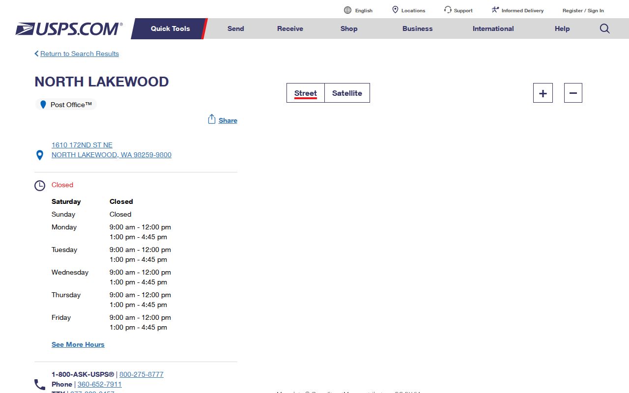
The official listing grounds the ZIP code directory in delivery records rather than an assumed city map.
Marysville ZIP Code Realignments
Postal Bulletins document two local changes. In 2005, 790 deliveries previously using 98223 moved to Marysville 98271. In 2007, 409 deliveries using 98205 moved to Marysville 98270. A later 2017 bulletin lists both 98270 and 98271 as Marysville destination ZIPs. These events changed delivery assignments. They do not prove annexation or a move of the city boundary.
| Year | Postal event |
|---|---|
| 2005 | Deliveries moved from 98223 to 98271. |
| 2007 | Deliveries moved from 98205 to 98270. |
| 2017 | USPS listed 98270 and 98271 with Marysville as preferred city. |
When an older letter, school record, or family address shows a different ZIP, match the record date to this timeline. Keep the street address intact. The postal change may explain the difference without any change to the house or its occupants.
Note: USPS delivery realignment and city annexation are separate acts maintained for different public purposes.
Find Marysville Records by ZIP Code
The Snohomish County Property Summary Search is the verified public record tool with a ZIP field. Its address form accepts a street address plus optional city, state or province, and postal code. A result can display an owner name, taxpayer mailing data, parcel number, legal-description information, improvements, values, sales, and taxing-district details. Owner is a record role and does not prove who now lives at the site.
| Search field | Entry type | Required | Use in a ZIP lookup |
|---|---|---|---|
| Parcel Number | Numeric county account | Alternative route | Best when already known |
| Street Address | Address text | Primary address route | Use the site address |
| City | Text | Optional | Do not assume the postal city proves jurisdiction |
| State/Province | Text | Optional | Enter Washington where useful |
| Zip/Postal Code | Text | Optional | Narrows the address result |
A ZIP-wide resident list is not produced by this form. Work from a full address or parcel, then check the displayed roles and dates. The Treasurer has additional parcel, taxpayer, property-address, and mailing-address routes, but a mailing address may point somewhere other than the parcel.
- Confirm the full delivery address with the USPS lookup.
- Enter the street and ZIP in the county property search.
- Open the parcel result and record the site address, parcel number, and source date.
- Compare the location with SCOPI or Marysville GIS city-boundary layers.
- If the goal becomes street-wide, use the Marysville street directory workflow.
Check Marysville ZIP Parcels
SCOPI connects the county parcel shape with account summaries, sale history, appraisal-neighborhood data, and other mapped layers. Start with the parcel number returned by the Assessor. Then inspect the geometry and any city or reservation context. Marysville GIS adds city-maintained maps, while county GIS provides the regional view.
Read map labels closely. “Multiple Parcels (Click for Info)” is an instruction to choose among parcel records. “Not a Legal Tax Parcel” means the displayed geometry is not a legal tax parcel and should not be treated as a residence record. Gross acreage may also include shared-interest acreage in some older captures. Compare the current primary-parcel size with the account explanation.
The parcel panel helps separate delivery geography from the mapped county account and its current boundary context. If the online viewer is hard to read, county GIS and Assessor staff remain the official fallback channels for questions about layers and property accounts. A records request can seek a city-held map or data set that is not posted, but it should identify the layer, date range, and area as closely as possible.
Marysville ZIP Codes Cross City Lines
A Marysville mailing label is not proof that an address lies inside Marysville. Official Snohomish County documents use 98271 for Tulalip addresses, including a Tulalip Tribe Natural Resources address on Marine Drive. Unincorporated pockets and the urban growth area can create similar confusion. First identify the postal address. Then use city and county maps to establish which government controls the site.
This difference affects records requests. Marysville permits and city records cover city-held matters. County assessor and recording systems cover parcels and documents across Snohomish County. Tulalip jurisdiction and reservation geography require their own careful check. Route the request based on the mapped authority, not the city name typed on an envelope.
- ZIP code
- A USPS delivery code. It is not a city boundary.
- ZIP+4
- A more precise delivery segment added to the five-digit ZIP.
- PO-box-only ZIP
- A ZIP reserved for post-office boxes. None serving Marysville was verified in the official sweep.
- Unique ZIP
- A code assigned to one large institution. None was established for Marysville.
- Carrier route
- A group of delivery points assigned to a postal route, not a municipal district.
Marysville ZIP Directory Neighborhoods
Marysville's official draft hazard plan names 11 planning neighborhoods: Lakewood, Smokey Point, Shoultes, Marshall, Kellogg Marsh, Pinewood, Downtown, Jennings Park, Sunnyside, East Sunnyside, and Getchell Hill. These names add useful local context after a ZIP search. They should not be treated as postal zones or as formal neighborhood-association borders.
The plan's 2021 context used about 24,900 residents and reported that 17.4 percent spoke a language other than English at home. Spanish was 7.6 percent, Russian, Polish, and other Slavic languages 2.6 percent, and Tagalog 2.5 percent. Those are dated plan statistics, not live ZIP-level counts. No official per-ZIP population or registration count was located.
The Marysville GIS map gallery is the local entry point for comparing planning areas with city-maintained geography.
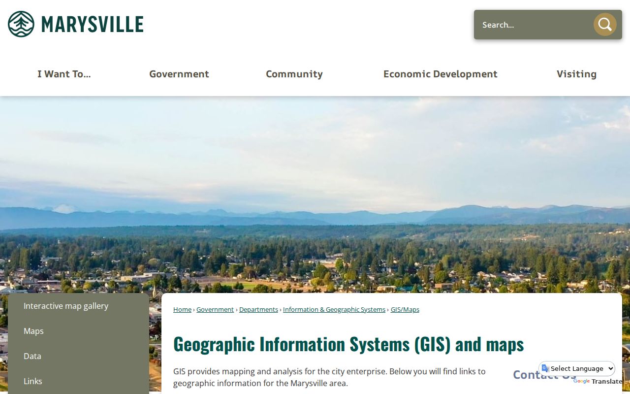
The gallery can orient the search, but each layer must be read by its own name and purpose.
Note: Planning neighborhoods, appraisal neighborhoods, postal ZIPs, and association areas may overlap without sharing the same borders.
Marysville ZIP Address Numbering
Marysville Municipal Code Chapter 12.04 explains local street names and numbers. It assigns 100 numbers between cross streets, 50 on each side, with one whole number for each 25 feet of frontage. On south-to-north streets, even numbers are on the east or right side and odd numbers on the west or left. On west-to-east streets, even numbers sit south and odd numbers north.
General west-to-east numbering starts at the western boundaries with 1000. South-to-north numbering starts at First Street with 100. Irregular lots go to the street superintendent or city clerk. The code also links street names to recorded plats held by the Snohomish County Auditor. State Avenue is the code name for State Route 529 and Old Highway 99 south to 136th Street NE; Smokey Point Boulevard remains north of that point.
These rules explain why nearby numbers may not rise as a casual reader expects. They also give a sound route for old records: check the ordinance date, plat, and parcel map before assuming an address changed because a person moved.
What Marysville ZIP Results Mean
Each source records a different role. The Assessor may show the owner. The Treasurer can show a taxpayer and mailing address. A permit can name an applicant or contractor. The Recorder indexes grantors and grantees, meaning parties transferring or receiving an interest. USPS validates delivery. None of those labels, by itself, confirms current occupancy.
| Official source | What ZIP or address adds | What it cannot prove alone |
|---|---|---|
| USPS | Deliverable postal format and preferred city | City jurisdiction |
| Assessor | Parcel and owner record tied to site | Current occupant |
| GIS | Mapped parcel and government layers | Household membership |
| Permit portal | Site address and permit roles | Resident status |
For lawful personal research, keep the source name, access date, and role beside each finding. A clean research note might say “USPS delivery result,” “Assessor owner,” or “permit applicant,” followed by the date checked. That wording prevents a record role from turning into an unsupported claim about a person. Recheck records after a sale, boundary update, or postal change because each system moves on its own schedule.
Do not use parcel or postal data to harass, follow, or expose anyone. Washington's Address Confidentiality Program can protect a participant's actual address through a substitute mailing address, so absence or mismatch may reflect a safety rule rather than an error.